Thursday, June 14, 2012

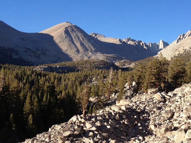
14 June - Day 54 - Mather Pass, stunning hike down thru Kings Canyon National Park!

From South Fork of King's River (Mile 811.7) [10,219 ft] to Mather Pass [12,087 ft] down 4000 ft then up to Middle Fork Kings River (Mile 831.7) [8,880 ft]

Total PCT Miles Hiked Today: 20


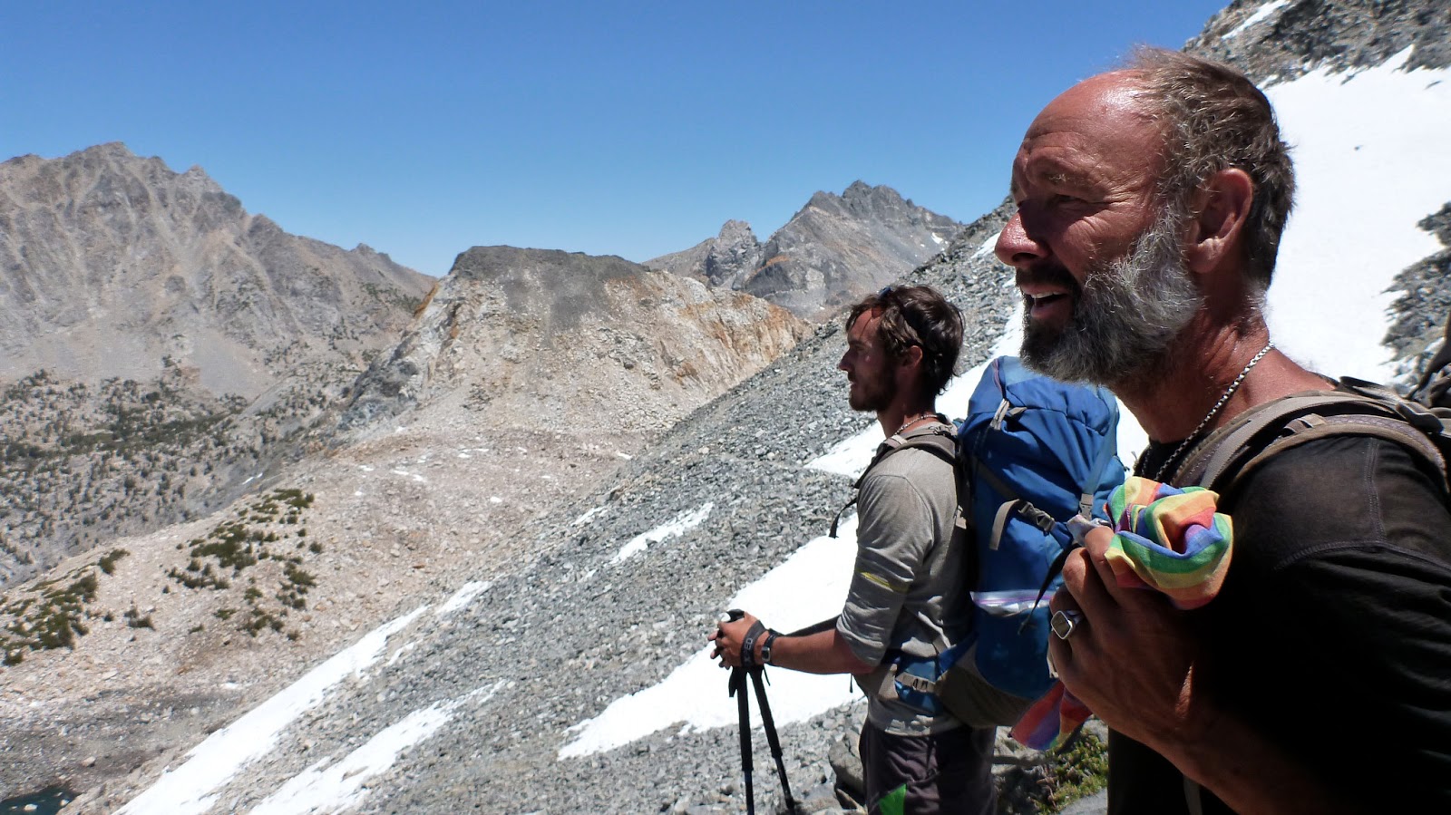
 Rise and shine. Seano leans in and snaps a pic of Pan and Dionysus as we all get ready to break camp.

Pan here.

Gorgeous day today. But the Sierras are just known for gorgeous -- and live up to it.

On way to Pass, Dirty Brown caught up with us, so we were six arriving there. On the way down the other side (with some hard snow fields) waterfalls amazing. Views down canyon to mounting tier on tier of peaks - fjord lakes.

Calf, Pan, Seano, Dionysus, Dirty Brown, and Rubylocks atop pass.

Picnic at water cascade on solid rock w/Calf, Rubylocks, Dirty Brown, Anteater, & us. Washed socks in ice water.

On way down, more blow downs slowed us up. I took tumble off trail (dramatic). "Heaps" of crossings of brooks, streams, springs, runnels, seeps, rivulets, puddles, creeks -- even a footbridge.

Pause at pine glade by river for a rest with many thru-hikers -- and, of course, giant ants appear from nowhere.

Dionysus is managing his gut injury pain (we lift pack onto him). He never complains.

Final push up valley to north toward Muir Pass. Clouds billowed up. Some rain. Umbrellas for a brief summer shower. Helicopters keep zooming up the valley with heavy logs attached by cables. Forest service contractors are working on renovating a large ranger cabin off the trail to the left. We hear the noise in the distance and pass along further up the valley.


Arrival near 5pm at campsite in lodgepole copse by Little Pete Meadow. Corn husk lilies, shooting star, green meadow, huge sheer peaks all around.

Left to right: Anteater, Gariliete, Rubylocks, Dirty Brown, Calf, Dionysus, Pan. [Photo courtesy of Seano]
Mule deer doe hangs out around our camp -- especially wherever we have peed.

It's a chummy group of thru-hikers -- lots of laughter and chatter. Dinner first! We allow ourselves a double dinner (2 Mountain House meals!) since we are only 2.2 days from VVR.

Nice chat with ultra-lite thru-hiker Gareliet (sp?) who joined late.


- Posted using BlogPress from my iPhone

Wednesday, June 13, 2012

13 June - Day 53 - Up & over Pinchot Pass

From Middle Rae Lakes (Mile 793.5) [10,587 ft] to Woods Creek [8511 ft] to Pinchot Pass [12,132 ft] to South Fork of King's River (Mile 811.7) [10,219 ft]

Total PCT Miles Hiked Today: 18.2

Mile 800 passed at suspension bridge over Woods Creek.

2nd day for Dionysus hiking with abdominal sprain (?). Pain is pretty intense, but he is managing it with good humor.

Regular feature of our day is daydreaming about food. We are fine with the rigors of long distance hiking. The really boring food on the trail, however, gets us to daydreaming about town stops. Yikes!


Beautiful hike down along the Rae Lakes by first light. At the end of the valley going down, we cross a fabulous bridge (later, thru-hikers were fishing here and then later roasted the fish at a fire ring nearby).

Long (7+ miles) ascent of Pinchot Pass 3600+ ft. We notice how on long grueling slogs up steep passes our minds become vulnerable to old griefs and losses ... And so we have to sometimes get conversations going - regardless of how out-of-breath they are - just to get out of our "heads."

Incredible roaring creek on sheer rocks up long valley with aspens and signs of avalanche. Rooster tail of water.


Napped on sponge sphagnum by alpine creek. Saw Dirty Brown, Anteater, Stride, Nancy, & others. Dirty Brown told us that our German artist friend, Tina, had left the PCT and returned to Germany. We were so sorry to hear that.


DB came down the pass w/ us 5 and we quickly filled the campsite. More arrived later. Big circle of laughing voices ringing out over roaring creeks in this high pine forest.


- Posted using BlogPress from my iPhone

Monday, June 11, 2012

12 June - Day 52 - From the sublime to the ridiculously sublime


From stunning campsite just north of Forester Pass (Mile 782.5) over Glen Pass [11,978 ft] to Middle Rae Lakes (Mile 793.5) [10,587 ft]

Total PCT Trail Miles Hiked Today: 11

Pan here. 

Seano's tent at 5.42 am.

Destination up and over Glen Pass.


Dionysus develops inflamed or strained lower abdominal muscles -- like herniation, but not entirely. His pain level shoots up pretty high - though he's so stoical about it, he just grimly puts up with the pain. We check for appendicitis (nope) and tested out a few solutions. The pain is persistent. No way out of the mountains but to hike or to call in helicopter rescue -- but he's adamant about moving on. Rubylocks (then later Calf) loan him trekking poles to help stabilize himself while hiking. I give him a Percocet. Then onward we go up & over Glen Pass.

Glen Pass

We call an early day at the stunning Rae Lakes -- Chris is wiped out. The five of us set up camp. Dionysus rests for awhile, then Seano, Dionysus, & I swim naked in the crystal waters. The views from the water of glacier-carved peaks all along the lakes into the distance was equal to something from the Canadian Rockies.
Rae Lakes [Seano the photographer]
Dionysus resting his gut muscles in camp.

Story time after supper. Fun chatting together.


Calf, Seano, Dionysus, and Pan during storytime [photo courtesy of Rubylocks].
I discover the benefits of mixing peanut butter into freeze-dried Mountain-House suppers!

Story time interrupted by a stream of hikers returning from Lone Pine and Bishop by way of Kearsarge Pass. We were serenely soaking in the wilderness when up comes Dirty Brown dancing about frenetically and dropping his clothes (a floor show!) & changing to get on longer mosquito-resistant layers. We all laugh. Food in the bear box tonight.

We feel the mosquitoes are ridiculously numerous -- but considering that we are only nested under our rainflies, we probably have much greater mozzie challenges ahead on the trail.


- Posted using BlogPress from my iPhone

11 June - Day 51 - Titanic Landscapes & Forester Pass


From Crabtree Ranger campsite (Mile 767) [10,652 ft] to campsite just north of Forester Pass (Mile 782.5)
[11,300 ft]

Total PCT Miles Hiked Today: 15.5

Awesome crossing of Forester Pass (13200), highest point on the PCT and the boundary between Sequoia National Park and Kings Canyon National Park.

From Crabtree we had a steady ascent. Unlikely & surprising beauties left & right. Bighorn plateau with a high lake nestled in a brief saddle before dropping off the other side.


Lake on Bighorn Plateau.

Connected to the John Muir Trail. Especially beautiful.

Took lunch at a roaring creek. Sunbathed and soaked my feet - all of us taking every opportunity to wash the salt and smell out of our hiking clothes.

Dionysus

Pan

Seano
Calf and Rubylocks

Pan on the last pitch of the Pass.

Seano on the last approach to the Pass.
The Gay Caballeros

Forester Pass at 13,200 ft, highest point on the PCT (the 14er day before isn't "on" the trail). Impressive stone work and trail construction/maintainance. Dramatic switchbacks up cliff face. I have no idea how thru hikers did it last year with mountains of snow. We had it easy.

The view south from Forester, with alpine lakes partially covered in ice.

Post holing. The other side we had our first hiking across steep snow fields soft enough that we would suddenly drop thigh-deep. Not ever fun with a heavy pack.

The pass opened up onto the most astonishing valley. Like a Bierstadt painting.

These are the types of views we see 50 times a day ... we just keep saying "Wow."

We are camped for the night in the most spectacular site of the whole trip. Peaks, roaring cataracts, alpine lakes, distant rockfalls rumbling across the high altitude valley -- we're nestled in among limber pines (all five of us) on the steep side of a glaciated valley.

Selfie in bed under the rain fly.


- Posted using BlogPress from my iPhone

Sunday, June 10, 2012

10 June - Day 50 - Climbing the Highest US Fourteener Outside Alaska

Climbed Mt Whitney.
PCT miles today: 0
Off-trail miles hiked today: 17.4

Pan here.

Late start. Rubylocks, Calf, & we 3 Gay Caballeros. Ahead of us on the trail were The Donald and Last Minute, among others.

Dionysus and Seano (a ways back) on the way up the mountain.
No wildflowers much except wallflowers and some mountain heath. But what a spectacular 14er. Remarkable!

On the way up Whitney.

Guitar Lake.

Dionysus perched near the top of the mountain.
Bright cloudless day, and not too many people on the Mtn. We summited the 14,500-feet-high beauty quickly. This is my 19th fourteener in the US and easily stands in among the top ranks of mountains for razzle dazzle.

Just one view of gajillions atop Whitney.
Another view from Whitney. In the distance, the Owens Valley and the White Mountains on the border with Nevada.
Nap time on a nice soft rock atop Whitney. Photo courtesy of Rubylocks

Back at the camp where tents crowded under the trees. That's Helicopter with the propeller cap.


- Posted using BlogPress from my iPhone

Saturday, June 9, 2012

9 June - Day 49 - "Now the real Sierras start."

Diaz Creek Camping area (Mile 741.7) [9700 ft elevation] to Crabtree Ranger campsite (Mile 767) [10,652 ft]

Total Trail Miles Hiked today: 25.3
Total miles today: 27

With such heavy packs, pounding out the miles really takes its toll.

Day spent high up in sandy cirques, with huge Foxtail pine scattered among the boulders. Bubbling mountain creeks. Views of the high peaks above timberline.

Seano, Pan, and Dionysus


The voice of a Hermit Thrush. Deer in the big meadow. Marmots grazing. Beaver in the amazingly clear creek. Paradise! [Apparently all paradises include mosquitoes. Why? Must be they keep out the riffraff].

Coming into the meadows at the base of Whitney was transcendant. Gorgeous! But we were wiped out.


The descent into the Crabtree Valley that leads up to Whitney.

We set up in woods next to upper meadow, back in the trees so we don't get the heavy dew. The guys who set up in the meadow ended up soaked in the mornings.


We were awkward, stumbling, incoherent. But elated. Especially when we saw that we had a biffy at the campground:


A toilet with a view. Gotta like that.

Tomorrow Mt Whitney!

Some of our PCT friends who are here: The Donald, Last Minute, Mark Trail & Moonwalker. Dirty Brown & Anteater in the meadow below. Rubylocks & Calf still with us.


- Posted using BlogPress from my iPhone

Friday, June 8, 2012

8 June - Day 48 - Higher up & first sight of Whitney


From Monache Meadow Trail Junction (Mile 720.2) to Diaz Creek Camping area (Mile 741.7) [9700 ft elevation]

Total Trail Miles Hiked Today: 21.5

Rubylocks & Calf showed up about 6:30 am as we finished our dbl mocha lattes in the high woods, by the big boulders that served as our cooking shelf.

We crossed several passes today. Some close to 11000 ft elevation -- and some had views of the High Sierras including Mt Whitney!

Seano

Pan

The southern end of the High Sierras.
Dionysus, Pan, Rubylocks, Calf, and Sidekick ("Seano").
Add caption


Looking for water, we came to a large sandy flats with large foxtail pines spaced here & there, and some down dead trunks. Tired!! We plopped down for supper and soon made the decision to call it. It meant big miles tomorrow. The Donald (from Vancouver) & Last Minute (currently from Hawaii) dropped by as we lay in our bags cowboy camping in a wind. Then they were off & we snoozed despite mosquitos.


- Posted using BlogPress from my iPhone